
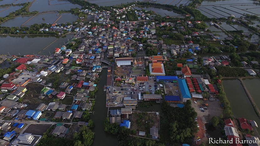
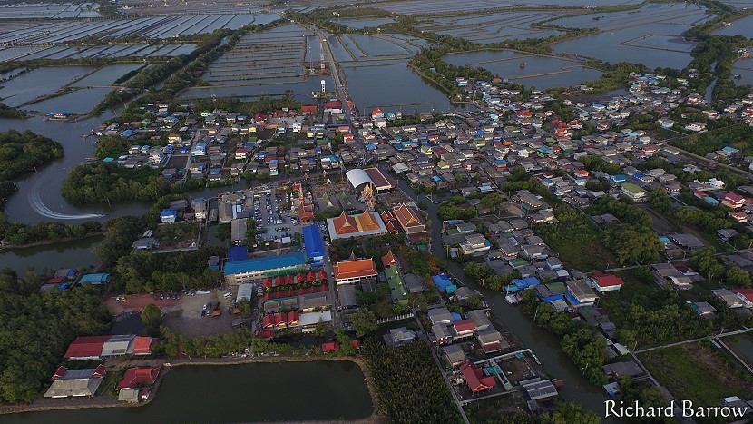
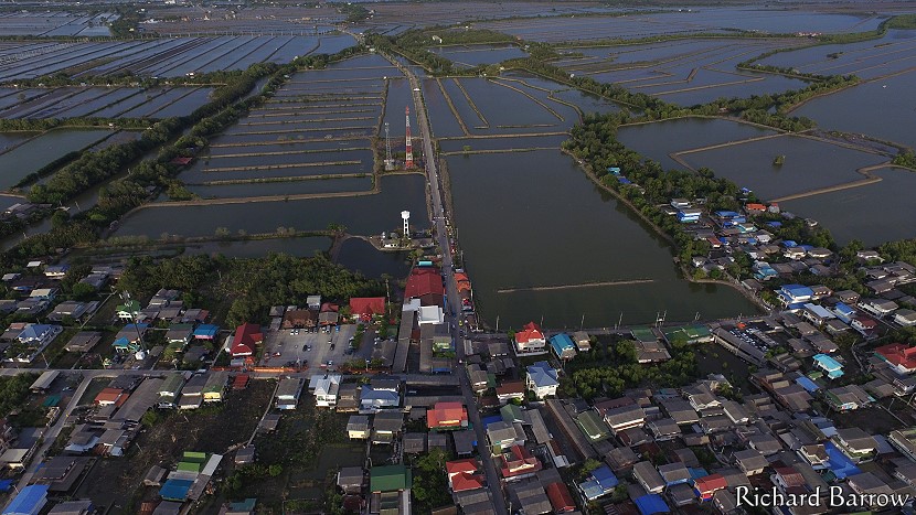
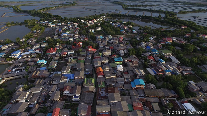
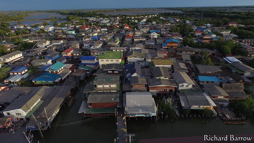
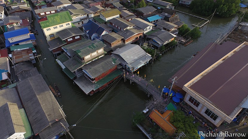
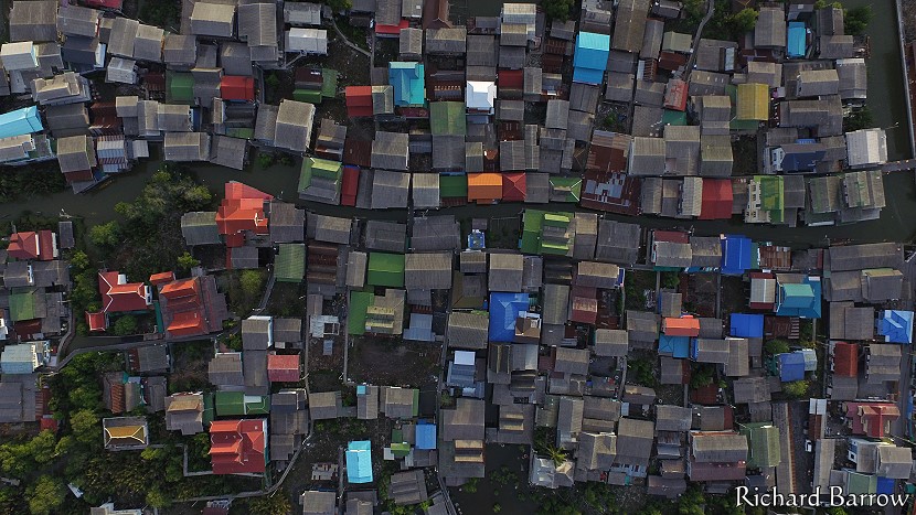
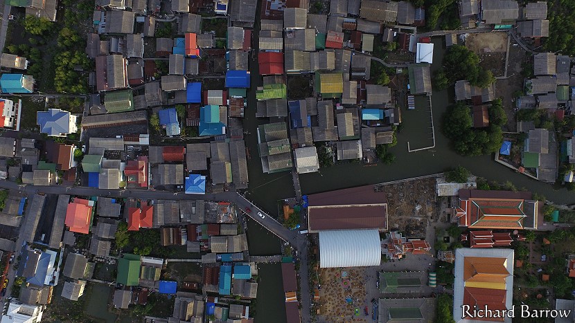
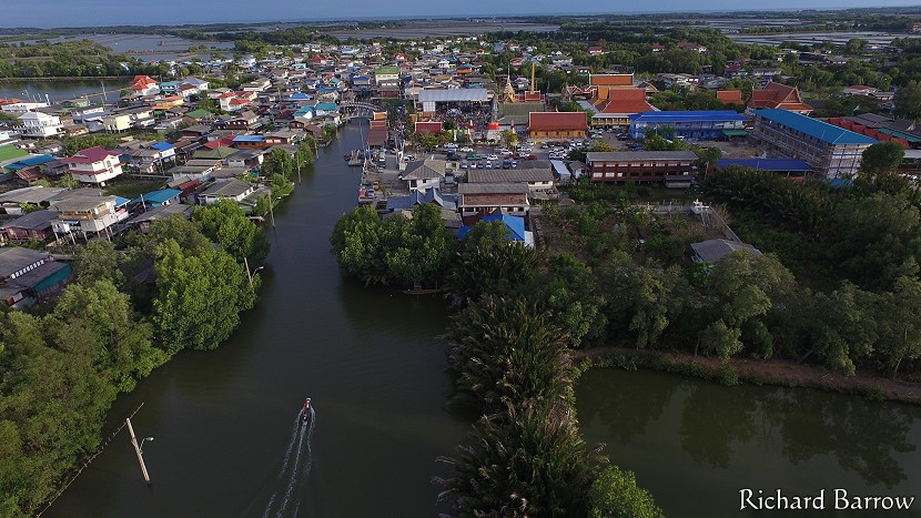
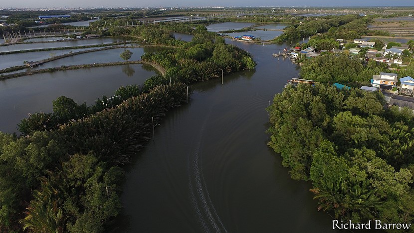
Ban Sakhla

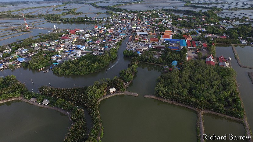
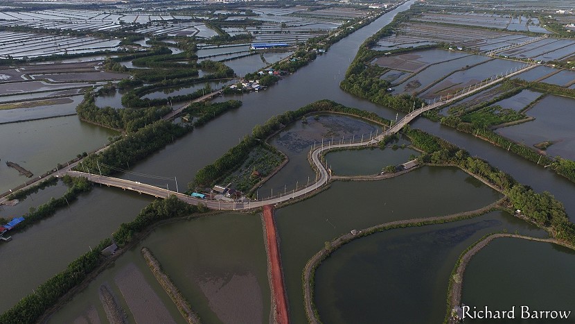
Sakhla community is situated along the banks of Sapphasamit Canal which was the old highway between Samut Prakan and Samut Sakhon. The village dates back to the early Ayutthaya Period. Most villagers are fishermen and the town is surrounded by shrimp and crab ponds. In the past these were salt farms. Until recently, there was only one road to this community, but there is now a new road and bridge over Sapphasamit Canal.
Click for more drone photos >>>
Map for Ban Sakhla:
{google_map}13.544160, 100.501345{/google_map}