
Gulf of Thailand Walk

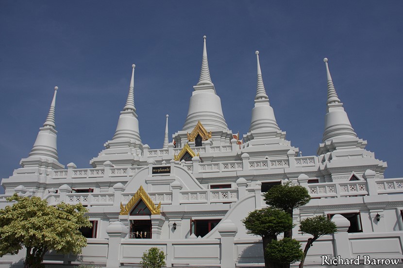
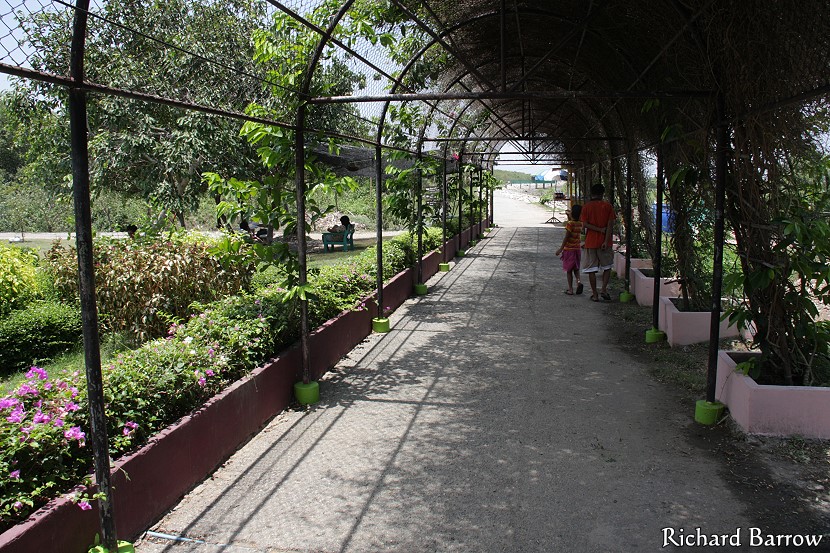
This morning I went on a four hour walk along the Gulf of Thailand in Samut Prakan Province. This included a half hour break for lunch at Bang Pu Seaside Resort. I started at Wat Asokaram where this picture was taken. I finished at Tam Ru fishing village. The distance covered during the walk was 11.6 kms or 7 miles. I had parked my car at Wat Asokaram and then returned by taxi. Click here for the first draft of the map.
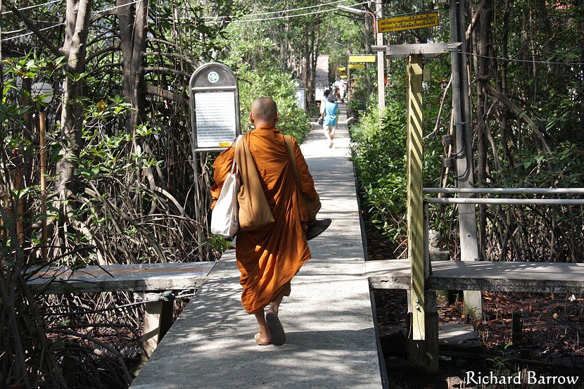
You can go to Wat Asokaram by Songtaew 30 or 36 from Paknam. The entrance is on your right about 300 meters before the Standing Buddha and 1,800 meters before the entrance for Ancient Siam. So, if you see these then you have gone too far. From the top of the Soi you can catch a motorcycle taxi down to the starting point. It is best to take some water with you though there are places along the way where you can buy drinks and food. A “kuti” is the small huts or houses where the monks live.
These are the little sois where the monks live. This is Soi 1 which leads down to the sea. Their kutis are on stilts above the mangrove forest. It was low tide when I was here and I saw some mudskippers and monitor lizards.
This is a picture showing the estuary for the Chao Phraya River. You can just see a navy ship on the other side of the river which is part of Phra Chulachomklao Fort. To my left is the Gulf of Thailand.
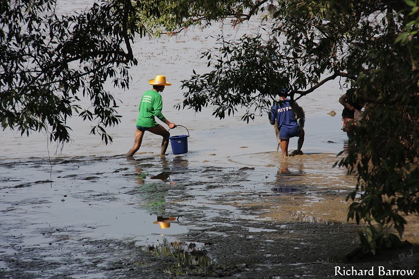
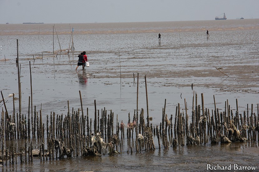
This picture shows some local people who took advantage of the low tide to go out looking for cockles to sell at the market or to eat themselves.
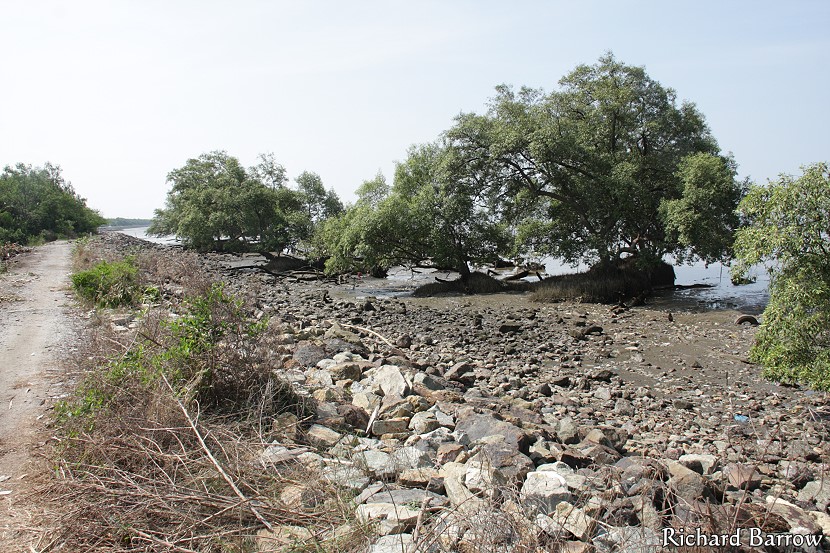
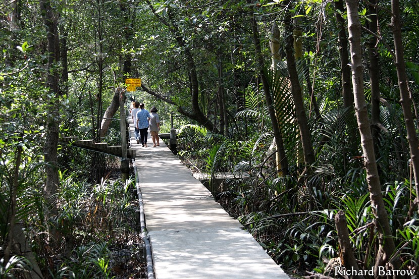
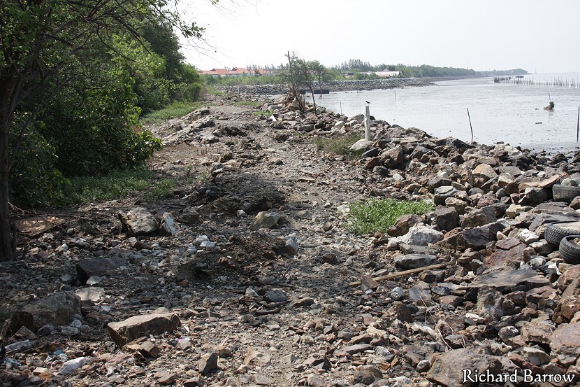
This picture is showing the path ahead once I had left Wat Asokaram. It wasn’t always that good. Sometimes very rocky and hard on the soles of the feet.
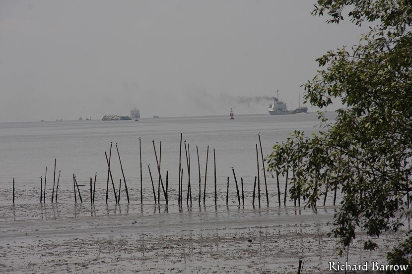
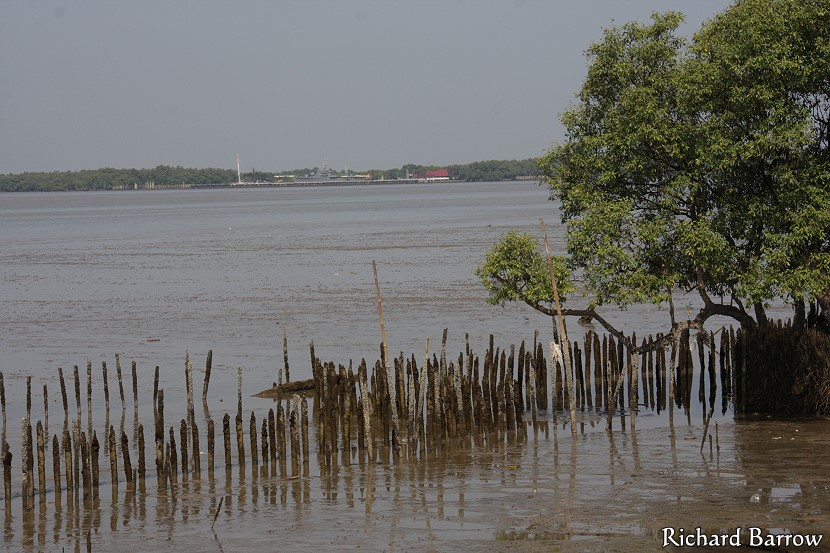
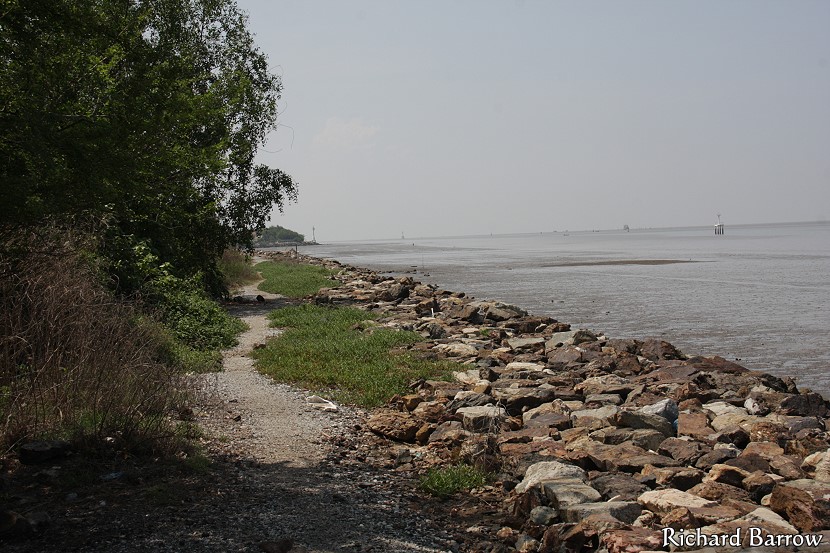
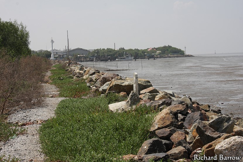
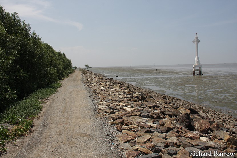
As you can see it is low tide. The water here is shallow and I saw some people walking far out. On the other side of the buoy there is a deep channel for the big container ships heading up river to Klong Toey Port in Bangkok.
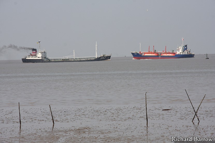
It is a quite busy waterway. I watched many ships going up and down.
During this section of the walk, the going was a bit rough and I had to be careful where I trod. You need to wear good walking shoes for sure.
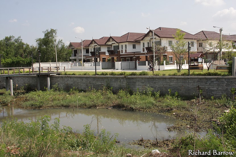
This is a new housing estate that I didn’t spot on the satellite images when I was planning my walk. As you can see, there is a lawn at the front and a pier. However, the pier stops in mid air and there is no access to the path I was on. I guess they did that for security but it is a bit strange.
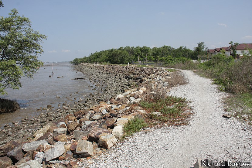
This is looking back towards the new housing estate. The track here was better but just ahead of me, the path was big rocks like the ones on the left of this picture.
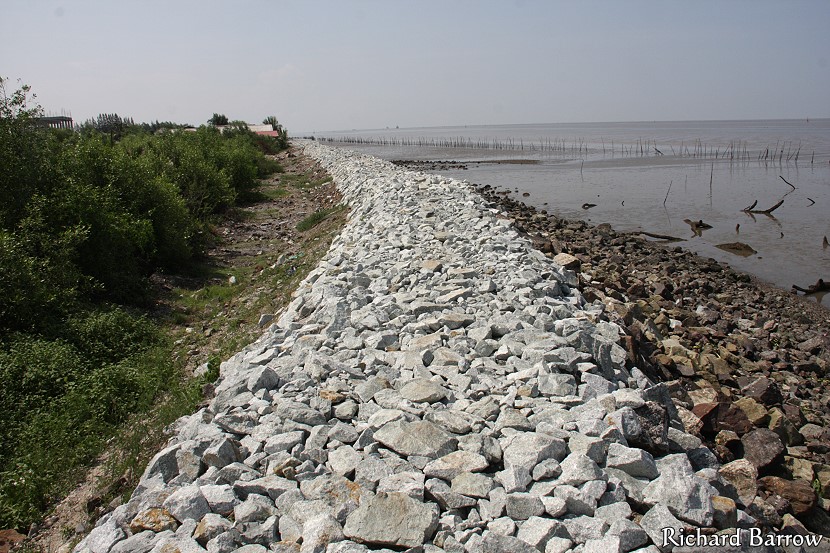
This is the next section of the path. Obviously they are planning to build a proper track here. Most likely it will be paved at some point in the future. But, unless they put a breakwater here or sea wall, I am sure it will not last very long.
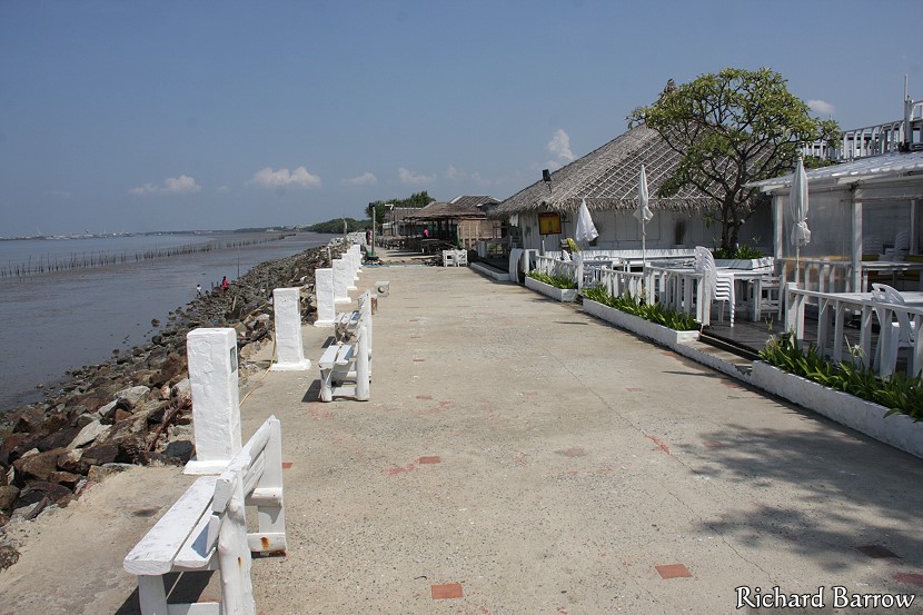
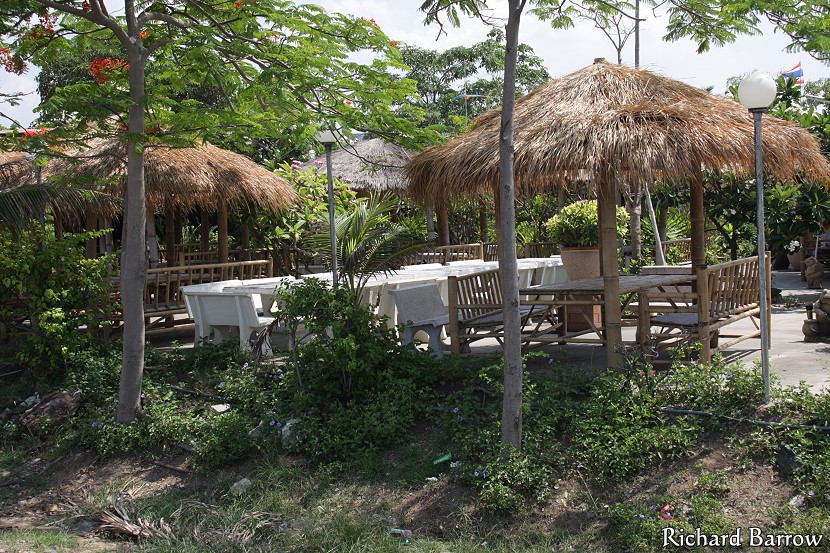
This picture shows a group of restaurant that have sprung up along the Gulf of Thailand. They call this Bangsaen 2. It’s a shame they cannot come up with a more original name. There is road access here and I have brought people here a number of times to eat and enjoy the sea breezes.
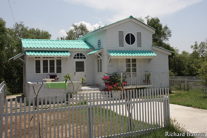
This is one of the better restaurants at Bangsaen 2. Apart from the white wooden one in the earlier picture, the others are not much more than temporary structures. I presume they are squatting.
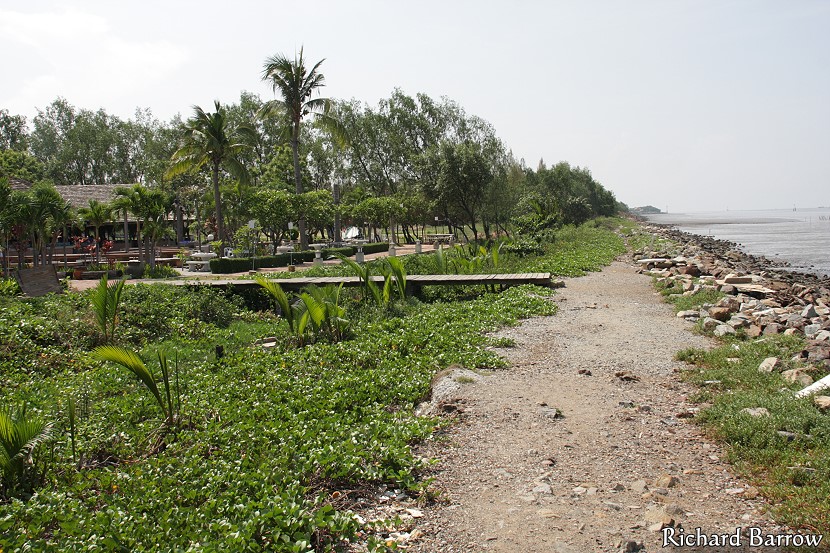
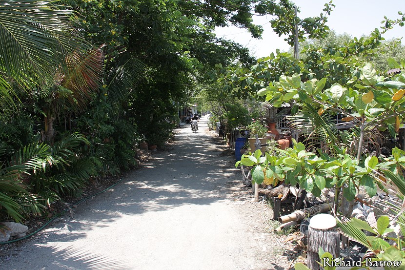
This is more like it. A nice winding path with some shade from these trees. This stretch was very peaceful with not a soul in sight.
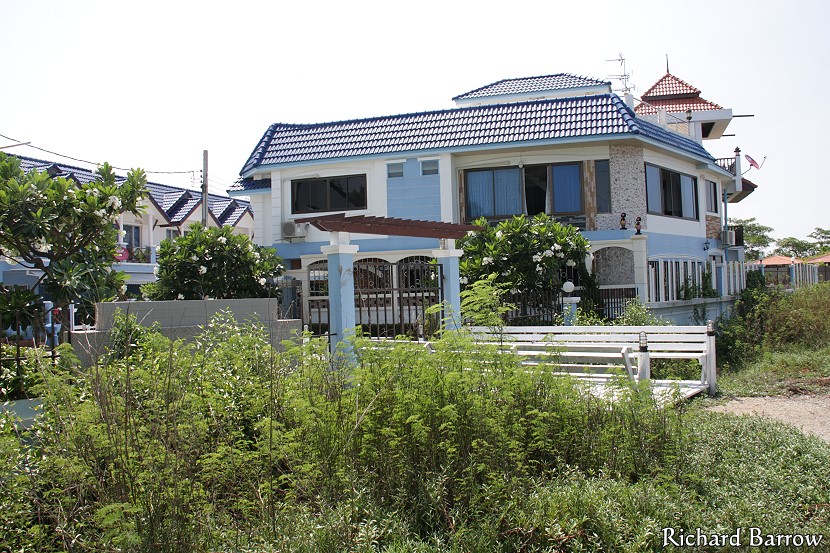
This is another new housing estate. As you can see, they have access to the footpath I was on.
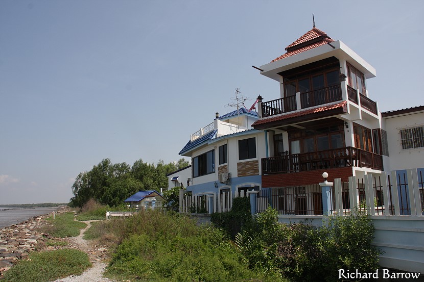
A nice view but I wouldn’t want to live here during a storm.
This is a restaurant next door. This point marks about one hour since I left Wat Asokaram. You could stop here for a meal if you like. I have never eaten here so I will come and check this out later.
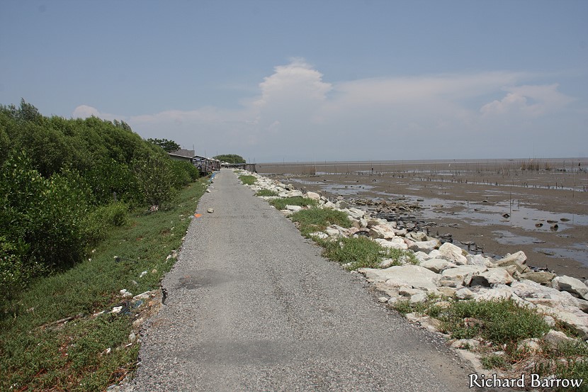
The track was still good. Obviously not wheelchair friendly, but it is more natural than a concrete path. The problem with building anything here is that it won’t last due to some of the big storms we get during the rainy season.
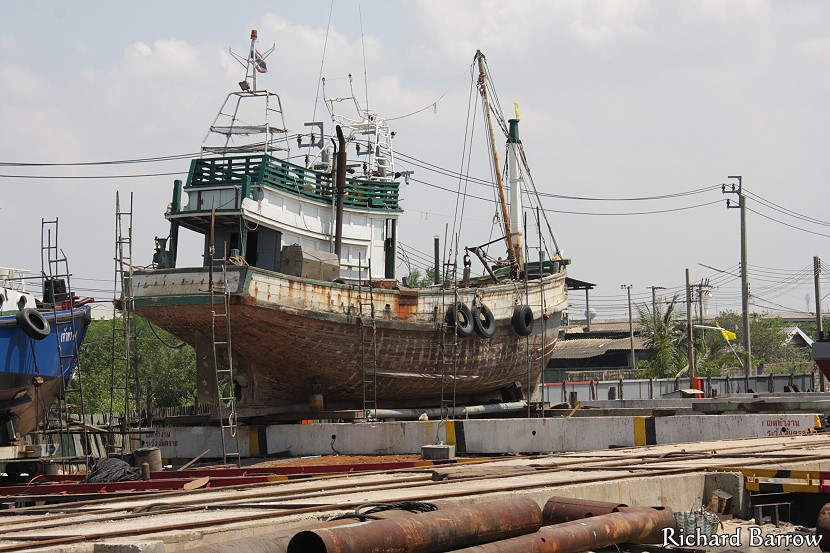
This is a private shipyard. At this point there is a small restaurant built in a shack. Good cheap food with road access. I’ve been here a few times.
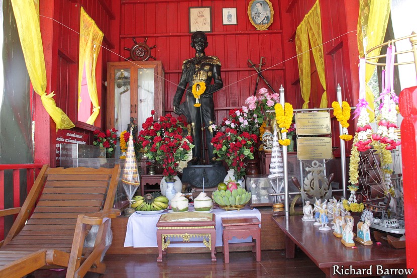
In the shipyard there is this shrine for Prince Chumphon. He is the Father of the Thai Navy and fishermen like to pay respect to his image before going out to sea.
This section of the coastal trail was good. You could certainly bring your bicycle for this part, but elsewhere you would have to carry it.
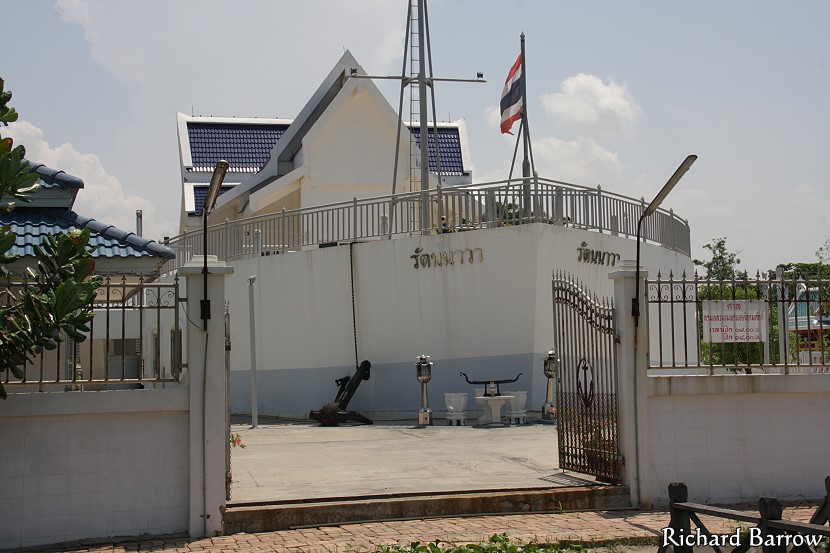
This is another shrine for Prince Chumphon. This one is much larger and shaped like a ship. For some reason there was a security guard who told me I couldn’t take any pictures. Not sure why.
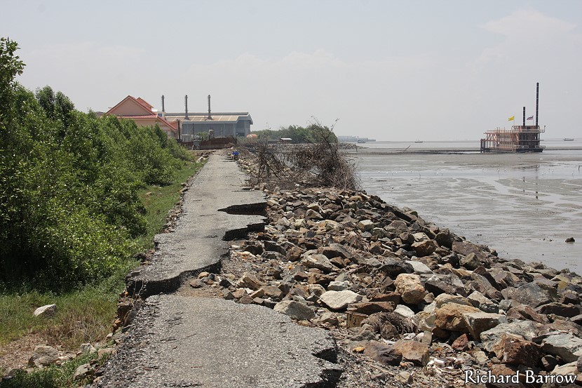
The path on this stretch to another restaurant had taken a pounding from the waves. Some of the tarmac had been washed away.
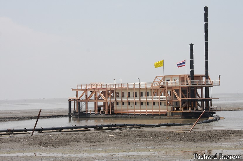
I’m not sure what this boat was for. It looked like it was dredging thought it was stationery. Maybe it was sifting for gold. See the pipe coming from it to the shore? Though I doubt it is gold.
This is behind Wat Sichan Pradit. I can just see a monk sitting in that sala. Looks like they cut down some of the mangroves to give them a view of the sea. They probably don’t realize that mangroves help stop land erosion.
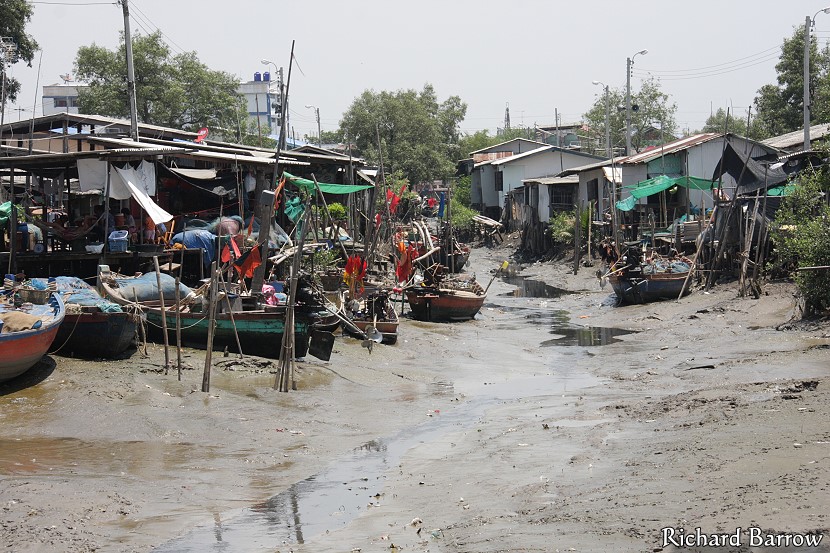
This is a small fishing community next to the temple. It is low tide and boats cannot go out.
From this fishing community I had my first glimpse of Sukta Pier at Bang Pu. It is a bit like Brighton Pier in the UK, though not as grand. At the end there is a ballroom and restaurant.
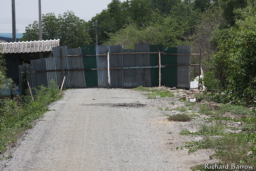
On the border of Bang Pu Seaside Resort my path was blocked by this fence. But, it was easier enough to go around.
If you want to enjoy nature and a fresh sea breeze, you can rent a bungalow at this resort run by the Thai army.
One of the great things about Bang Pu are their efforts in re-planting mangroves in order to stop any further land erosion.
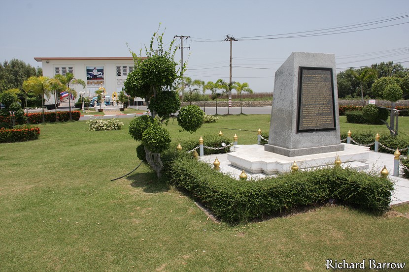
This monument marks the spot where the Japanese invaded at the start of the Second World War.
On the other side of the monument is the entrance to the Mangrove Learning Center. This is a great place to do some bird watching or see a mangrove forest close up.
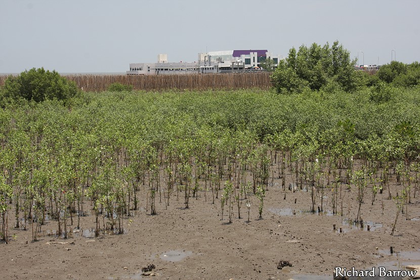
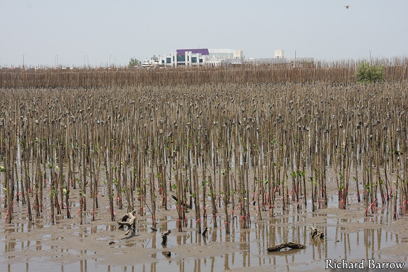
People have also been planting mangroves here. These are not that old, but I guess in five years you won’t be able to see the pier any more. I hope this project is successful.
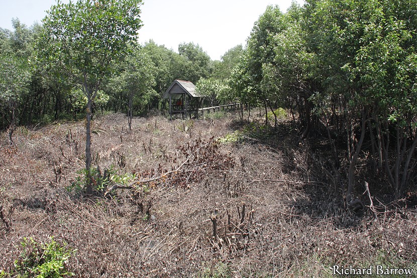
It will be interesting to come back here later when the mangroves are fully grown. In the distance you can see a bird watching hut.
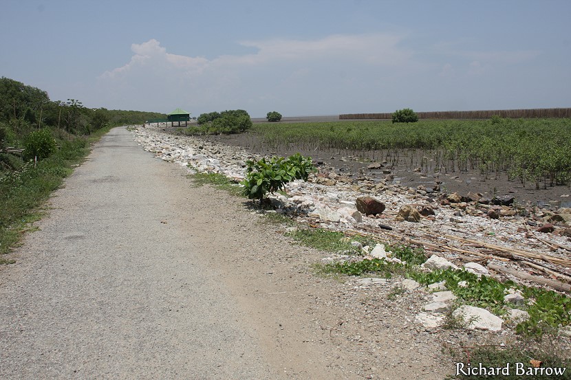
Beyond the mangrove reserve, the track wasn’t so well kept, but still in good enough condition.
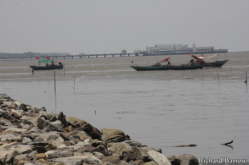
It was still low tide and people were wading out looking for cockles and other shellfish.
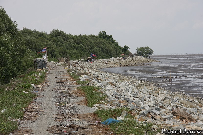
This is the final stretch to Tam Ru. This is another fishing community. However, this time there was no bridge across the river and so this is where I had to end my walk. There is no path on the other side.
This is the lane from the coast I walked up to get to the main road. Here I found a taxi to take me back to my starting point at Wat Asokaram. It had taken me about four hours to reach here which included a break for lunch.