
Samut Prakan City

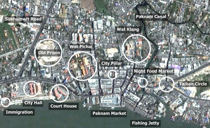
This is an overview of Paknam City. The picture has been swung around 90 degrees so that north is to the left. This takes you along the waterfront from City Hall to Taiban Circle. Sukhumwit Road comes in from the left and turns left at the traffic lights to bypass the city. The distance from this intersection to Taiban Circle is about 1000 metres.
[column-group]
[column]
OLD MAPS
- Samut Prakan 1954
- Samut Prakan 1948
- Samut Prakan 1935
- Samut Prakan 1912
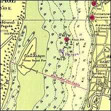
- Phrakhonchai Fort in 1904
- Paknam Railway Map 1954
- Paknam Railway Map 1937
- Old Map of Paknam
[/column]
[column]
SATELLITE MAPS
- Ban Sakhla
- Phra Samut Chedi
- Crocodile Farm
- Taiban Circle
- Paknam Market
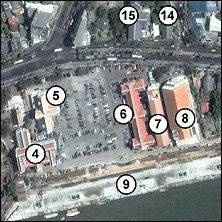
- Samut Prakan City Hall
- Samut Prakan City
- Samut Prakan Estuary
[/column]
[column]
GOOGLE MAPS
- Forts in Samut Prakan
- Tourist Attractions in Samut Prakan
- Temples in Samut Prakan
- Golf Courses in Samut Prakan
- Map of Paknam Railway
[/column]
[/column-group]