
Old Map of Paknam

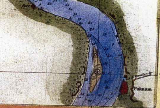
This is a section of an old map which dates back to the reign of King Rama II. On the right you can seen the town of Paknam marked. This was later renamed Samut Prakan (Ocean Fortress) when the banks of the river were fortified. Even now you can see some forts marked on both banks of the river. The island in the middle is the combination of two later islands – to the south is the Phi Sua Samut Fort. To the north is the Phra Samut Chedi temple.