
Samut Prakan Estuary

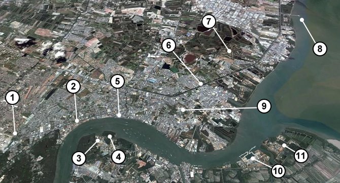
This Google Earth shot is a view of Samut Prakan with North and Bangkok to the left. It has also been tilted so that more can be seen.
- The latest tourist attraction for the city is Chang Erawan, the three-headed elephant
- Naval Museum on Sukhumwit Road. This is the road you take from Bangkok to the city.
- This is Phra Samut Chedi. A hundred years ago this temple used to be on an island in the middle of the river.
- This is another island in the middle of the river. This one has the Phi Sua Samut Fort.
- The city center is on the East Bank. The marked area is City Hall.
- Sukhumwit Road bypasses the city and then continues on its way to Chonburi and Pattaya.
- Off the Sukhumwit Road you will find the Ancient City.
- Bang Pu Seaside Resort Pier is a great place to go to enjoy the sea breeze and to feed the seagulls.
- About 10 minutes from the city is the Crocodile Farm. This has the largest captive crocodile in the world.
- On the West Bank near the river mouth is the navy dockyard.
- The entrance to the Chao Phraya River is protected by the Chulachomklao Fort.
[column-group]
[column]
OLD MAPS
- Samut Prakan 1954
- Samut Prakan 1948
- Samut Prakan 1935
- Samut Prakan 1912
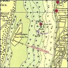
- Phrakhonchai Fort in 1904
- Paknam Railway Map 1954
- Paknam Railway Map 1937
- Old Map of Paknam
[/column]
[column]
SATELLITE MAPS
- Ban Sakhla
- Phra Samut Chedi
- Crocodile Farm
- Taiban Circle
- Paknam Market
- Samut Prakan City Hall
- Samut Prakan City
- Samut Prakan Estuary
[/column]
[column]
GOOGLE MAPS
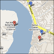
- Forts in Samut Prakan
- Tourist Attractions in Samut Prakan
- Temples in Samut Prakan
- Golf Courses in Samut Prakan
- Map of Paknam Railway
[/column]
[/column-group]